Services - Survey
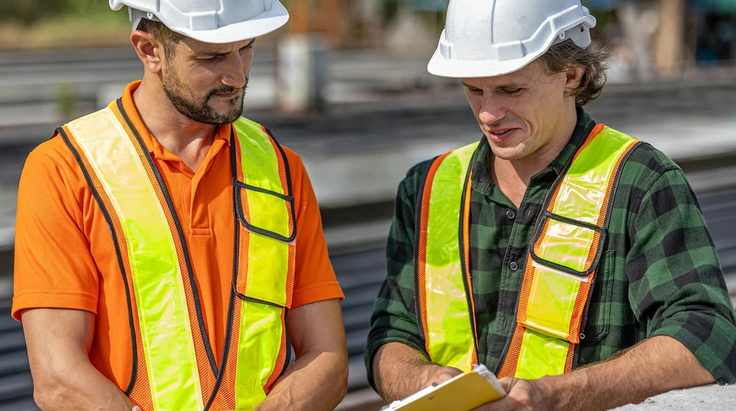
Providing accurate field data as the foundation for every engineering decision.
Types of Work
Soil Investigation
Investigation of subsurface conditions to obtain geotechnical parameters for engineering planning and design.
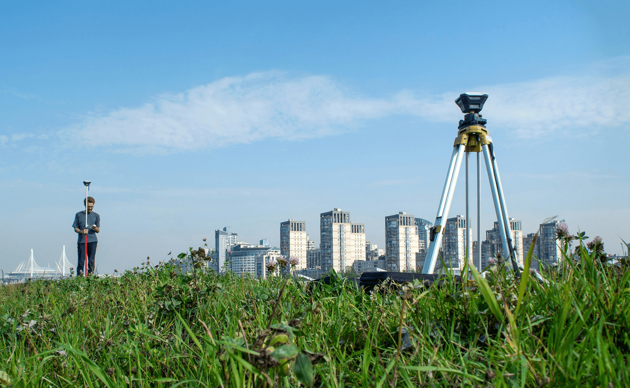
Topography Survey
Measurement of existing ground conditions and surface features to support area planning, infrastructure design, and development.
Hydrographic Survey
Measurement of water depth and seabed conditions to support the planning, design, and operation of marine and coastal infrastructure.
Metocean Survey
Collection of tide, current, wave, and other oceanographic data to support the design and operation of marine and coastal infrastructure.

Areas of Expertise
Our Strengths
Accurate & Standards-Compliant Data
Field data is collected using appropriate measurement methods and in accordance with applicable standards to ensure accuracy, consistency, and reliability as a basis for engineering analysis and planning.
Modern Survey Equipment
Our surveying and field investigation activities are supported by equipment appropriate to each project’s requirements, ensuring the quality, consistency, and reliability of the data collected.
Experienced Field Team
Our surveys are conducted by experienced personnel with a strong understanding of field conditions and the data requirements of various infrastructure projects.